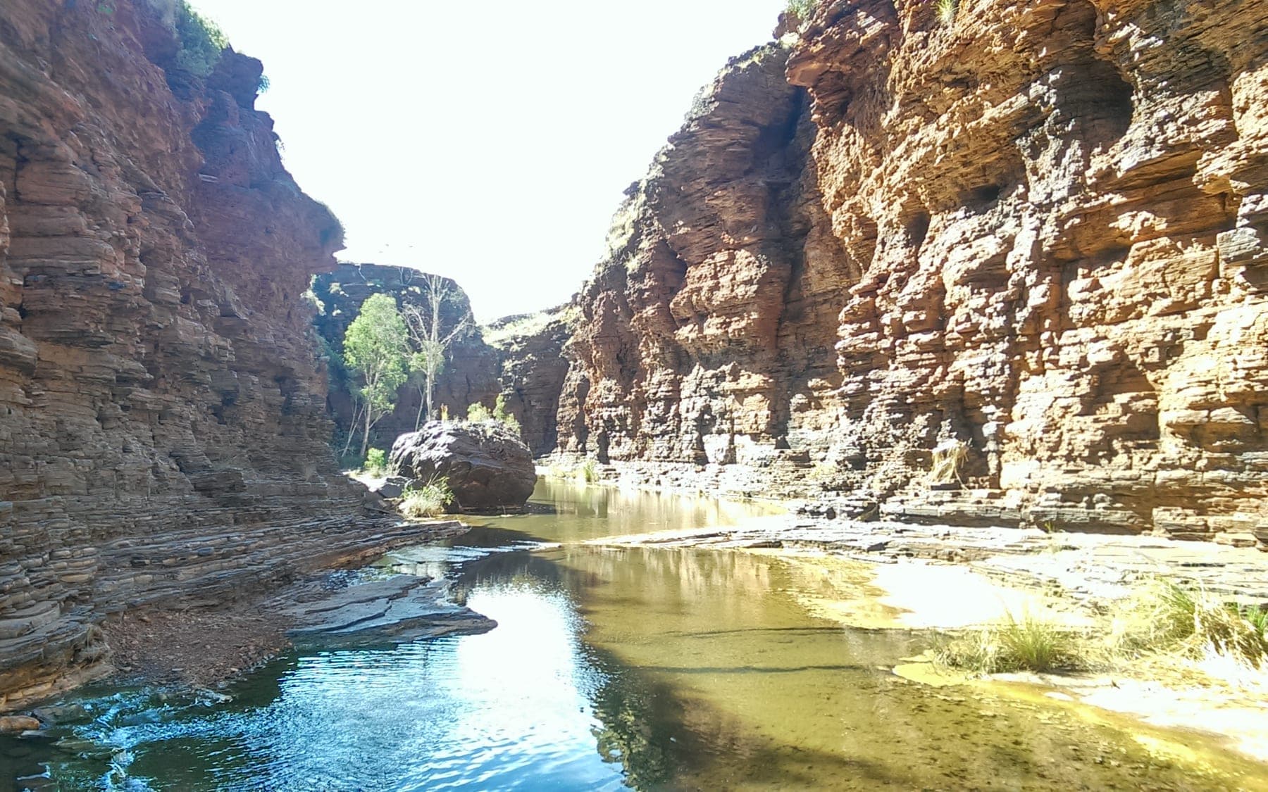
Karijini National Park
Photo by JAMO B · wikimedia · CC BY-SA 4.0
- State
- WA
- Region
- Pilbara
- Access
- 2WD
- Best months
- April to October
- Nearest town
- Tom Price
- Fuel within
- 80 km
Deep iron-red gorges cut into the Pilbara, with the best swimming in Western Australia at the bottom of them. Straightforward to reach, genuinely serious once you leave the rim.
Karijini is the second largest national park in Western Australia, and it hides almost all of its interest below ground level. From the access roads you are driving across flat, spinifex-covered plateau. The gorges only announce themselves when you are standing at the edge of one.
That geography drives everything about how you plan a trip here. The drive in is easy. The park itself is not.
Getting there and getting around
Karijini Drive is sealed, and the main access roads to Dales Gorge and the Visitor Centre are manageable in a two-wheel drive with reasonable clearance. Several of the western gorge access roads are unsealed and corrugate badly through the season.
The practical consequence: a two-wheel drive will get you to the park and to Dales, which is the largest and most accessible gorge system. Getting to Joffre, Knox and Hancock comfortably wants higher clearance and the willingness to drop tyre pressures for the corrugations.
There is no fuel inside the park. Tom Price is the usual refuelling point, and the distances in the Pilbara punish optimistic fuel planning.
The gorges
Dales Gorge is the one most people see. Fortescue Falls, Fern Pool and Circular Pool sit within a short walk of each other, and the descent is a formed staircase rather than a scramble. It is the only part of Karijini that could reasonably be called easy.
Weano and Hancock are where the park earns its reputation. Handrail Pool in Hancock Gorge involves a descent down a fixed handrail into a narrow chute. Classified as Class 5 walks, these are not walking tracks in the ordinary sense. They involve scrambling, wading and route-finding through water.
Joffre and Knox sit further west and see fewer people for it.
Reading the risk honestly
Karijini has a long history of serious incidents, and they cluster around a specific pattern: people continuing past the point where a track stops being a track. Gorge walls are steep, phone coverage is absent below the rim, and a rescue from a Class 5 gorge is a major operation measured in hours.
Australian Parks classifies walks in this park from Class 1 through Class 6 for a reason. The class rating is the single most useful piece of planning information the park publishes, and it is worth taking at face value rather than as a suggestion.
Flash flooding is the other real hazard. A storm cell well outside the park can put water through a gorge system with very little warning.
When to go
April to October is the touring season. Winter days sit in a comfortable range and the nights get genuinely cold, which surprises people who have driven a long way north expecting warmth. Bring more sleeping bag than you think the Pilbara warrants.
Summer is dangerous rather than merely unpleasant. Temperatures well above 40 degrees combined with gorge walking is a poor combination, and the wet season brings flooding risk.
Country
Karijini is on Banjima, Yinhawangka and Kurrama country. Several sites within the park are culturally significant, and some areas are closed to visitors. The park's signage marks these clearly.
Related
 Destinations
NT · 2WD
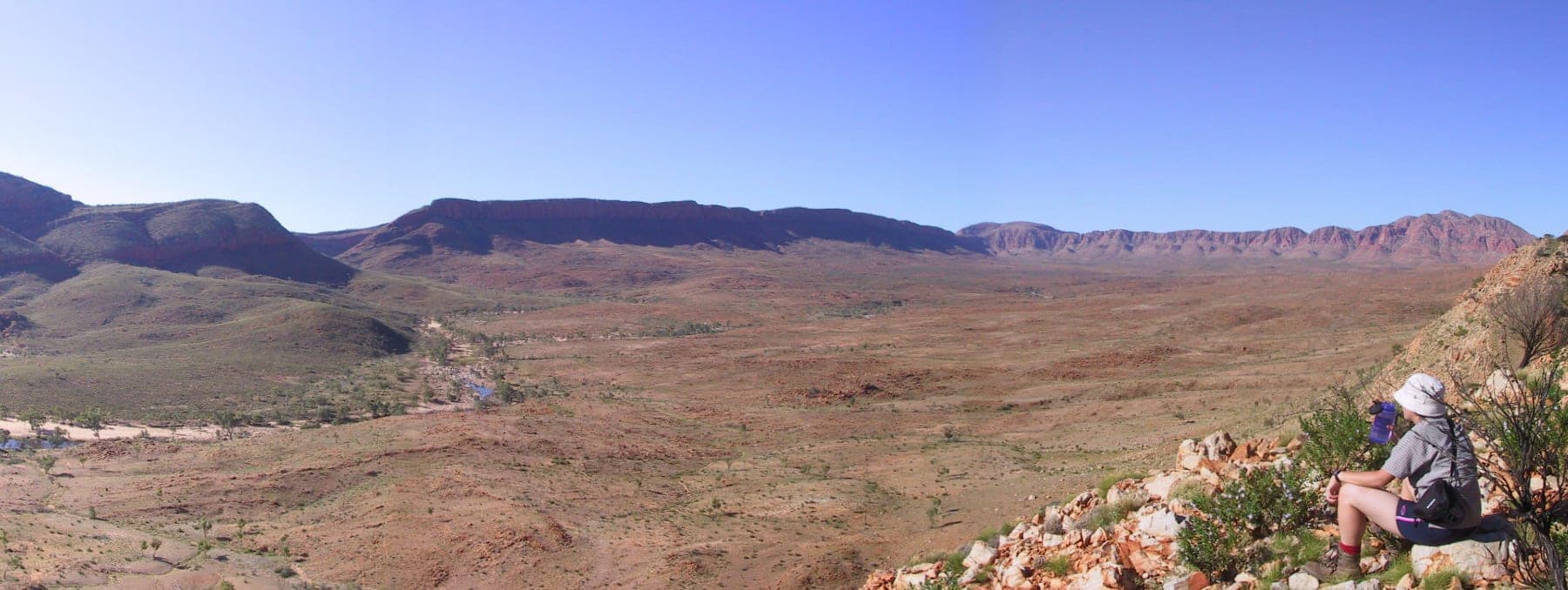
Tjoritja / West MacDonnell National Park
A line of gorges and waterholes running west from Alice Springs, most of them reachable on sealed road, all of them cut through the same ancient range.
 Destinations
WA · 2WD
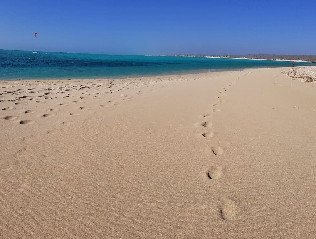
Cape Range National Park
A limestone range on one side of the road and Ningaloo Reef on the other. The rare place where you can camp above a beach and swim onto coral from it.
 Destinations
NT · 2WD
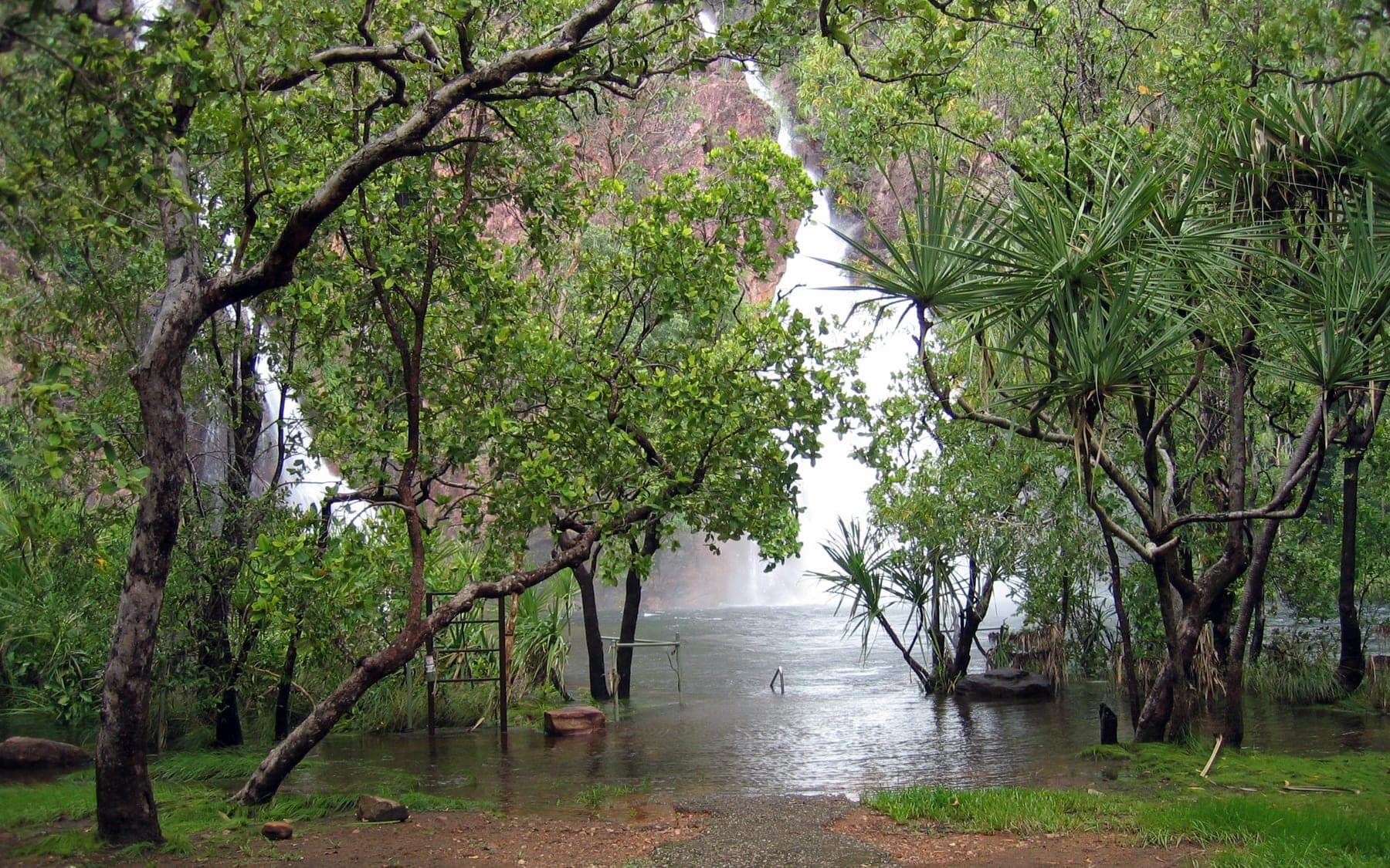
Litchfield National Park
Waterfalls you can swim in an hour and a half from Darwin, mostly on sealed road, with the crocodile management that makes that possible.