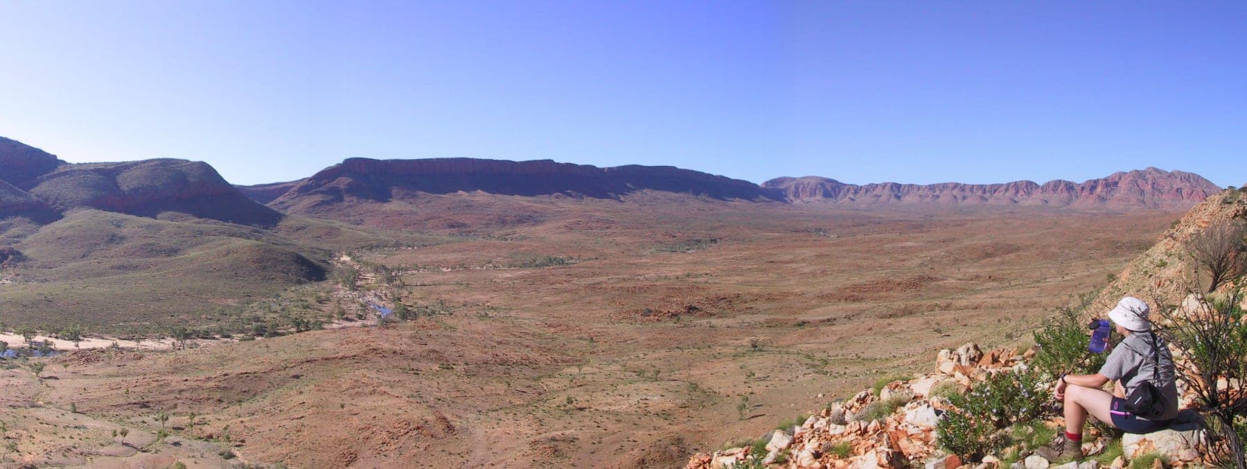
Tjoritja / West MacDonnell National Park
Photo by No machine-readable author provided. Felix Dance assumed (based on copyright claims). · Wikimedia Commons · CC BY-SA 3.0
- State
- NT
- Region
- Central Australia
- Access
- 2WD
- Best months
- April to September
- Nearest town
- Alice Springs
- Fuel within
- 130 km
A line of gorges and waterholes running west from Alice Springs, most of them reachable on sealed road, all of them cut through the same ancient range.
The West MacDonnells run roughly 160 kilometres west from Alice Springs, and Namatjira Drive runs along them. Almost everything worth stopping for sits within a short walk of that road.
This is the most accessible serious desert country in Australia. You do not need a four-wheel drive, you do not need to plan around a wet season, and you can see a great deal of it in three or four days.
The sequence west
Simpsons Gap is closest to town, a narrow gap in the quartzite with a permanent waterhole and a resident colony of black-footed rock-wallabies.
Standley Chasm is privately managed by the Arrernte community at Iwupataka. The walls close to a few metres apart and the floor lights up for a short period around midday when the sun is directly overhead.
Ellery Creek Big Hole is the swimming stop. It is deep, permanently shaded on one side, and genuinely cold year round. People underestimate how cold, and cold water shock in a desert waterhole is a real and recurring incident here.
Ormiston Gorge is the standout. The Ormiston Pound Walk is a loop of around three hours that takes you up over the pound and back down the gorge floor, and it gives you the geology from above and inside on the same walk.
Glen Helen sits where the Finke River cuts through the range. The Finke is often described as one of the oldest watercourses on earth, following roughly the same path for a very long time.
Redbank Gorge is at the western end, and the swim into the narrow section is again very cold.
The Larapinta Trail
The Larapinta runs 223 kilometres along the spine of the range from Alice Springs to Mount Sonder, divided into twelve sections. It is the reason many people come, and it is walked in sections far more often than end to end.
The trailheads intersect Namatjira Drive at several points, which makes it practical to walk a section and be collected, or to base at a campground and day-walk.
Water is the constraint. Tanks are placed along the trail, and their status is published rather than assumed.
Season
April to September. Winter days sit comfortably in the twenties and the nights drop hard, frequently below zero at the western end. The temperature swing across a single day out here is larger than most people pack for.
Summer is unsuitable for walking. The heat is severe and the gorges offer very little relief in the middle of the day.
Country
Tjoritja is Arrernte country and the park is jointly managed. Several sites, including sections near Standley Chasm and around Mount Sonder, hold particular significance, and some areas are restricted.
Related
 Destinations
WA · 2WD
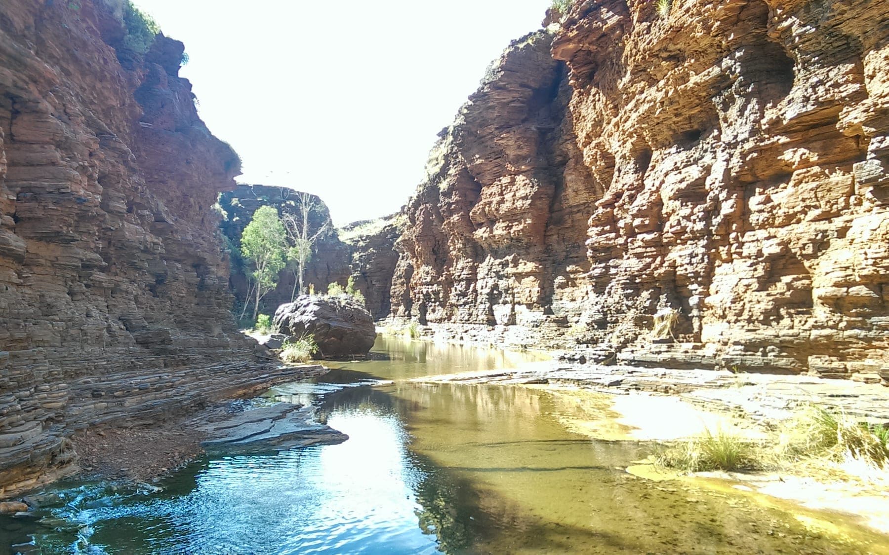
Karijini National Park
Deep iron-red gorges cut into the Pilbara, with the best swimming in Western Australia at the bottom of them. Straightforward to reach, genuinely serious once you leave the rim.
 Destinations
NT · 2WD
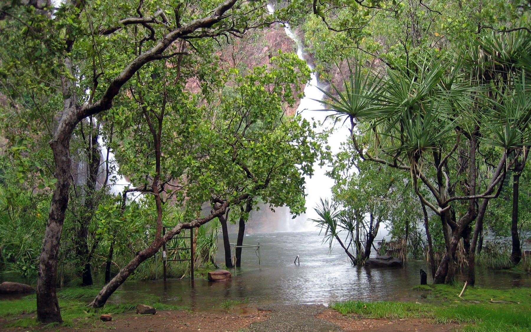
Litchfield National Park
Waterfalls you can swim in an hour and a half from Darwin, mostly on sealed road, with the crocodile management that makes that possible.
 Destinations
WA · 2WD
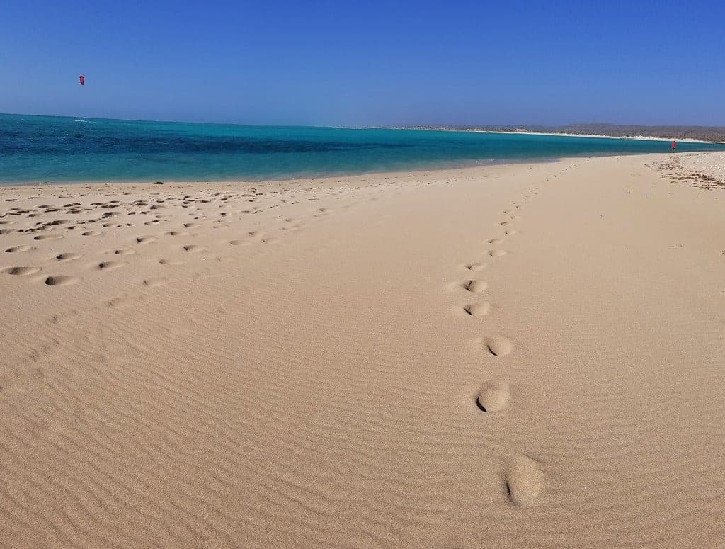
Cape Range National Park
A limestone range on one side of the road and Ningaloo Reef on the other. The rare place where you can camp above a beach and swim onto coral from it.