
The Great Ocean Road and the Otways
Photo by betsyweber · flickr · CC BY 2.0
- Distance
- 240 km
- Suggested
- 3 days
- Difficulty
- Easy
- States
- VIC
- Waypoints
- 6
- Read
- 3 min
About 240 kilometres of sealed coast road from Torquay to Allansford, with rainforest behind it. The one route on this site that asks nothing of your vehicle.
The Great Ocean Road is a war memorial. It was built between 1919 and 1932 by returned servicemen, largely by hand, and dedicated to those killed in the First World War. That history is the reason it hugs the coast so tightly instead of taking the easier inland line.
It is included here because it is the counterexample to everything else on this site: sealed the whole way, suitable for any vehicle, and reachable from Melbourne in under two hours.
Drive it westbound
The road is one way in engineering terms but the experience is not symmetrical. Heading west, you are on the ocean side of the road, which means the pull-offs are on your left and you are not crossing traffic to reach every lookout.
It also puts you at the Twelve Apostles in the afternoon rather than the morning, which matters for light.
The timing problem
This is the most visited stretch of road in Victoria and the Twelve Apostles carpark reflects it. Through the middle of the day in summer and on any fine weekend it is genuinely unpleasant.
The fix is simple and reliable: be there before about nine in the morning or after about five in the afternoon. The light is better at both ends and the difference in crowding is dramatic.
Three days is the right length. One day is a forced march that misses the Otways entirely.
The Otways
Most people drive the coast and skip the rainforest, which is the mistake worth avoiding.
Inland from Apollo Bay the Great Otway National Park holds cool temperate rainforest with tree ferns, myrtle beech and mountain ash. Triplet Falls and Hopetoun Falls are short walks into dense forest that feels nothing like the coast twenty minutes away. Melba Gully has a glow-worm population best seen well after dark.
Cape Otway Lightstation is the oldest surviving mainland lighthouse in Australia, sitting on the headland where Bass Strait meets the Southern Ocean.
The shipwreck coast
West of the Twelve Apostles the limestone continues through Loch Ard Gorge, London Bridge and The Grotto. Loch Ard Gorge is the more interesting stop of the group: a narrow inlet with a genuinely grim story attached, and far fewer people than the Apostles a few minutes east.
The formations are actively eroding. London Bridge lost its connecting span in 1990 with people on the far side, and one of the Apostles collapsed in 2005. The stacks you photograph are temporary.
Camping
This is the most developed corner of this site's coverage, and the camping reflects that: established caravan parks in the towns, and national park campgrounds through the Otways that book out over summer and school holidays.
Free camping along the coast strip is limited and enforced.
Season
Year round. Summer is warm and very busy. Autumn is the sweet spot: settled weather, softer light, far fewer people. Winter is cold and often wild, and the Southern Ocean putting swell into those cliffs is worth seeing.
The Great Ocean Road and the Otways map and waypoints
Every waypoint plotted, with coordinates, distances and what each stop is for. Coordinates are approximate and intended for orientation rather than navigation.
- 01
Torquay
Eastern start. Surf coast.
-38.33, 144.32
- 02
Lorne
Erskine Falls and the Otway foothills.
-38.54, 143.97
- 03
Cape Otway
Lightstation and the turnoff into the rainforest.
-38.86, 143.51
- 04
Twelve Apostles
Limestone stacks. Arrive early or late.
-38.66, 143.10
- 05
Port Campbell
Base for the shipwreck coast.
-38.62, 142.99
- 06
Allansford
Western end of the memorial road.
-38.39, 142.60
Related
 Destinations
VIC · 2WD
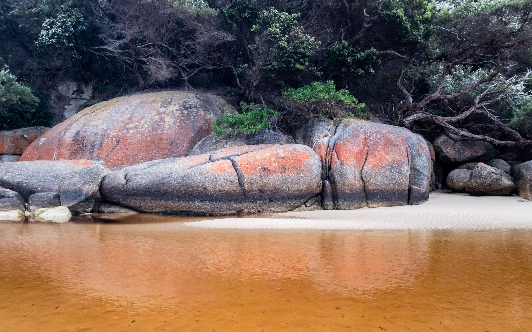
Wilsons Promontory National Park
The southernmost tip of mainland Australia, with granite headlands, squeaking white sand and the most heavily booked campground in Victoria.
 Destinations
VIC · 2WD
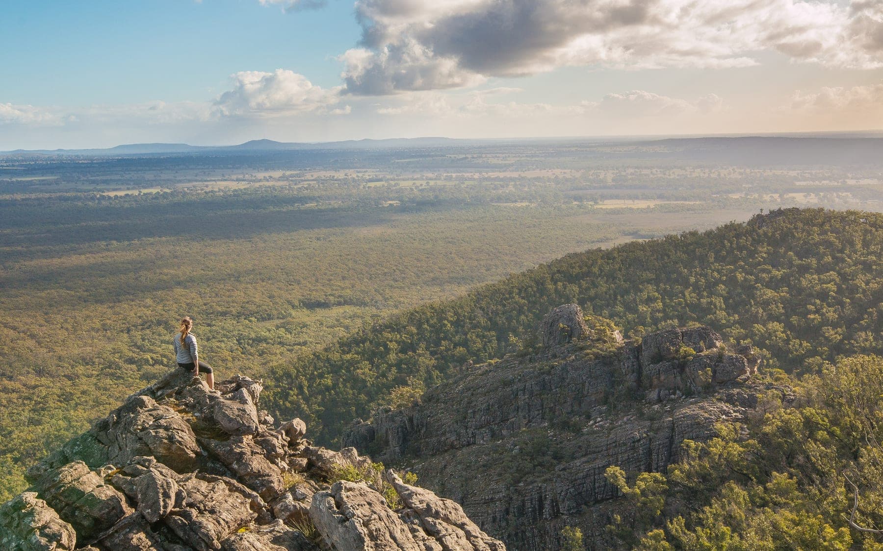
Grampians National Park (Gariwerd)
Sandstone ranges rising straight out of the Western District farmland, three hours from Melbourne, with the best short walks in Victoria.
 Destinations
WA · 2WD
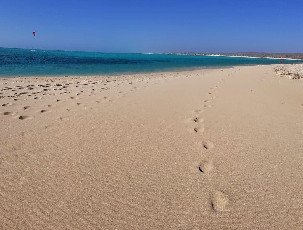
Cape Range National Park
A limestone range on one side of the road and Ningaloo Reef on the other. The rare place where you can camp above a beach and swim onto coral from it.