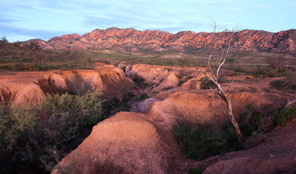
Ikara-Flinders Ranges National Park
Photo by indii.org / Lawrence Murray · flickr · CC BY 2.0
- State
- SA
- Region
- Flinders Ranges
- Access
- AWD
- Best months
- April to October
- Nearest town
- Hawker
- Fuel within
- 55 km
Ancient folded ranges five hours north of Adelaide, with a geology trail you can drive and the most legible landscape in South Australia.
Ikara-Flinders Ranges is the most readable landscape in South Australia. The rock here records several hundred million years of sedimentary history, tilted and eroded until the layers sit exposed at the surface where you can drive alongside them.
Wilpena Pound, or Ikara, is the feature everyone comes for: a natural amphitheatre ringed by a continuous ridge, roughly 17 kilometres long. It looks like a crater and is not one. It is the eroded remains of a fold.
Access and roads
The sealed road runs to Wilpena, so getting to the main resort area and campground is straightforward in any vehicle.
Everything more interesting is gravel. Brachina Gorge, Bunyeroo Gorge and the Moralana Scenic Drive are unsealed roads with creek crossings, and they range from smooth to badly corrugated depending on when they were last graded and how much rain has been through.
None of it is technically difficult four-wheel driving in dry conditions. All of it is unpleasant and slow at highway tyre pressures. This is gravel touring rather than off-roading, and the main thing it asks of you is that you slow down and let the pressures down.
After rain, the creek crossings change character quickly and some roads close.
The Brachina Gorge Geological Trail
This is the standout, and it is genuinely unusual: a self-drive route with numbered interpretive stops, each one marking a different geological formation, arranged so you drive forward through deep time.
It works because the sequence is exposed and continuous. You are not looking at an interpretive sign describing something invisible. The rock is right there at the roadside.
The trail includes the Golden Spike, the internationally ratified reference point for the base of the Ediacaran period. It is a marker on a hillside in a gorge in South Australia, and it defines a division of the geological time scale worldwide.
Yellow-footed rock-wallabies live along the gorge and are most active early and late.
Camping
Wilpena Pound Campground is the large, serviced option, with powered sites, showers and a shop.
The bush camps scattered through the park along the gorge roads are the better experience if you are self-sufficient: small, unpowered, mostly a cleared area and a drop toilet. They book through the state parks system and cost little.
When to go
April to October. Winter days are mild and the light through the ranges in the hour after dawn and before dusk is the reason photographers keep coming back. Nights get cold and frost is common.
Summer is hot enough to be genuinely limiting, with temperatures regularly through the high thirties and into the forties.
Country
The Flinders Ranges are Adnyamathanha country, and Ikara is the Adnyamathanha name for Wilpena Pound. The park is co-managed, and the Adnyamathanha account of how the Pound formed is presented alongside the geological one at the visitor centre.
Related
 Destinations
WA · 2WD
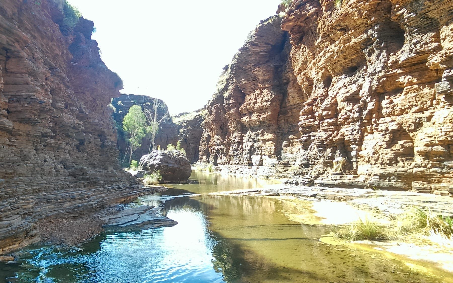
Karijini National Park
Deep iron-red gorges cut into the Pilbara, with the best swimming in Western Australia at the bottom of them. Straightforward to reach, genuinely serious once you leave the rim.
 Destinations
WA · 2WD
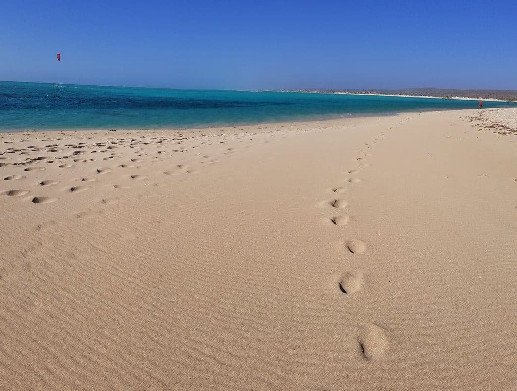
Cape Range National Park
A limestone range on one side of the road and Ningaloo Reef on the other. The rare place where you can camp above a beach and swim onto coral from it.
 Destinations
NT · 2WD
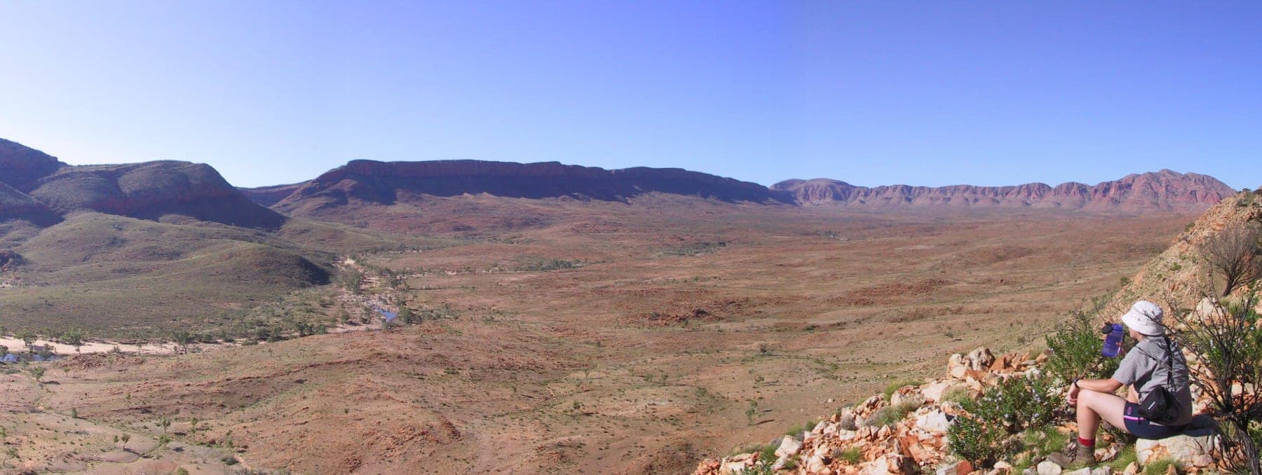
Tjoritja / West MacDonnell National Park
A line of gorges and waterholes running west from Alice Springs, most of them reachable on sealed road, all of them cut through the same ancient range.