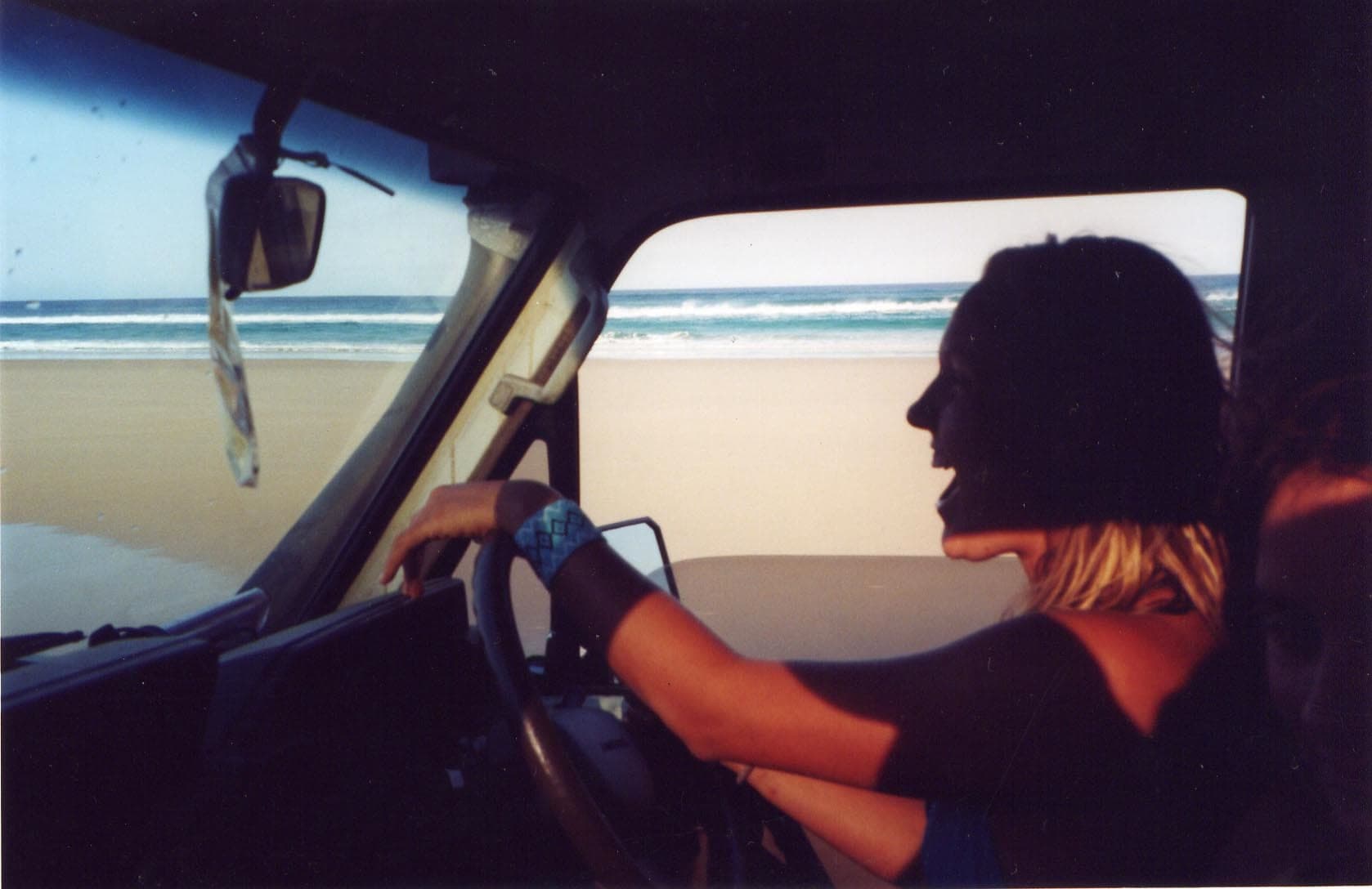
K'gari
Photo by 416style · flickr · CC BY 2.0
- State
- QLD
- Region
- Fraser Coast
- Access
- 4WD
- Best months
- All year, with August to October the most settled
- Nearest town
- Hervey Bay
- Fuel within
- 0 km
The largest sand island on earth, where every road is a beach or a sand track and the tide timetable decides your day.
K'gari, formerly Fraser Island, is about 120 kilometres long and made almost entirely of sand. There is no bitumen. The eastern beach is a gazetted highway, the inland tracks are soft sand, and both are subject to conditions that change through the day.
This is the most demanding destination on this site for an inexperienced driver, and the reason is not difficulty in the technical sense. It is that the island punishes people who treat a beach like a road.
The tide runs your day
Seventy Five Mile Beach is the main north-south route, and it is only usable around low tide. The working guidance is a window of roughly two hours either side of low water, and that window shifts by about fifty minutes each day.
Getting this wrong is the single most common way people come unstuck here. A rising tide against soft sand and a bogged vehicle is how cars end up in salt water, and salt water is how they end up written off. Recovery on K'gari is expensive and slow.
Plan each day backwards from the tide table, not from where you would like to be.
Tyre pressures and sand
Sand driving is about flotation, and flotation comes from a long contact patch. That means dropping pressures substantially below road settings, keeping momentum steady rather than surging, and avoiding sharp steering inputs at low pressure.
The inland tracks are softer and more chopped up than the beach, particularly through the middle of the day after traffic has been through. Early is easier.
There is a compressor at the main access points, and you re-inflate before any hard surface.
What to see
Lake McKenzie is a perched lake, sitting above the water table on a base of compacted organic matter. The water is rainwater, the sand is nearly pure silica, and the result is the improbable colour it is known for.
Eli Creek discharges a large volume of fresh water across the beach and is the standard float-down stop.
The Maheno is the wreck of a liner driven ashore in 1935, now well decayed and fenced.
Champagne Pools and Indian Head sit at the northern end, and Indian Head is the best vantage point on the island for spotting sharks, rays and turtles in the water below.
Dingoes
K'gari has a dingo population managed as a genuinely wild one, and the rules around food, waste and children are strict and enforced. Fenced campgrounds exist for a reason. This is not a formality: there have been serious attacks, and almost all of them trace back to animals that had learned to associate people with food.
Do not carry food loose, do not leave anything out at camp, and keep children within arm's reach.
Permits
Both a vehicle access permit and a camping permit are required, and both are arranged in advance through the Queensland parks system rather than on arrival.
Country
K'gari is Butchulla country. The name means paradise. The island was returned to Butchulla native title in 2014 and the original name was formally restored in 2023.
Related
Guides4 min read
Beach driving: tides, pressures and salt water
Why the tide timetable outranks everything else, what soft sand actually demands from a driver, and the washing-down step people skip.
 Gear
5 min read
Recovery boards: how they work and how to use them properly
The safest recovery tool in the kit, why they fail when people get impatient, and what separates a board that lasts from one that shreds.
Routes6 days · 500 km
Crossing the Simpson Desert
Around 1,100 parallel dunes between Mount Dare and Birdsville, the most committing mainstream desert crossing in Australia, and entirely a dry-season proposition.