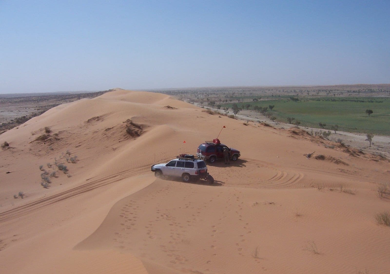
Crossing the Simpson Desert
Photo by User:Phanly (talk) · Wikimedia Commons · CC BY 3.0
- Distance
- 500 km
- Suggested
- 6 days
- Difficulty
- Remote
- States
- SA, NT, QLD
- Waypoints
- 6
- Read
- 5 min
Around 1,100 parallel dunes between Mount Dare and Birdsville, the most committing mainstream desert crossing in Australia, and entirely a dry-season proposition.
The Simpson is the most accessible of Australia's serious desert crossings, which is not the same as being easy. It is roughly 500 kilometres between the last fuel at Mount Dare and the first fuel at Birdsville, across something like 1,100 parallel sand dunes running north to south.
You cross them at right angles, which is the whole character of the trip.
What actually makes it serious
The driving itself is sand driving. With pressures down and momentum managed, the dunes are within the capability of a well-prepared, standard four-wheel drive and a competent driver.
The seriousness comes from everything around that:
- No fuel for the whole crossing. You carry what you need plus a real reserve, and sand driving in low range consumes far more than highway travel.
- No water. Purni Bore is the last of any kind, and what you carry is what you have.
- No coverage. None, anywhere in the middle.
- No shortcut out. From the centre you are days from help in either direction.
- Traffic is light. In season you will see other vehicles. Between them, you may not for a long time.
A mechanical failure that would be a phone call anywhere else becomes a serious situation here.
Season and permits
The crossing is a dry-season activity, broadly April to October.
The desert parks close over summer, generally from 1 December to 15 March, because temperatures make a breakdown lethal rather than inconvenient. That closure is enforced.
Permits are required. The South Australian side needs a Desert Parks Pass, and park permits apply for Munga-Thirri and the Simpson Desert parks. Requirements have shifted in recent years, including additional seasonal closures, so confirm the current position with the relevant parks agencies rather than relying on an older guidebook or a forum post.
The route
Most crossings run west to east, from Mount Dare to Birdsville, and there is a good reason.
The dunes are asymmetric. The western face is generally the gentler slope and the eastern face is steeper. Travelling west to east means climbing the easier side and descending the steeper one, which is considerably better than the reverse.
It also means Big Red, the largest dune, comes at the end as a finish rather than as a demoralising start.
The French Line is the most direct and most heavily used route. The Rig Road and the WAA Line offer alternatives, some longer and softer, some in better condition depending on the season.
Dalhousie Springs near the western start is an artesian spring complex with a large warm pool, and it is the last comfortable swim before the dunes.
Poeppel Corner is where South Australia, the Northern Territory and Queensland meet, marked by a post in the middle of a salt lake.
Big Red sits about 35 kilometres west of Birdsville and is the tallest dune on the crossing. It has multiple lines of varying difficulty, and not making it up on the first attempt is entirely normal.
Sand flags and radio
A sand flag on a tall whip is mandatory, not advisory.
Dune crests are completely blind. Two vehicles approaching the same crest from opposite sides cannot see each other, and both are carrying momentum to get over. The flag is the only thing visible above the crest.
UHF on the accepted channel is used alongside it to call dune crossings. The convention is to announce yourself before committing to a crest. See UHF radio channels in Australia for how the channel system works.
Vehicle and preparation
Two vehicles minimum. Solo crossings happen and they are strongly discouraged. Most sand recovery assumes another vehicle or at minimum another set of hands.
Fuel range needs honest calculation. Low-range sand work consumes dramatically more than the highway figure people plan from. Long-range tanks or jerry cans, properly secured.
Tyres and pressures. Pressures come well down for the dunes, and the technique matters as much as the number. See tyre pressures for sand, gravel and rock. Carry two spares and the means to repair a tyre.
Recovery gear that works in sand: a long-handled shovel, recovery boards, and a compressor. Boards and a shovel resolve most sand situations without any of the risk that comes with a strap.
Communications. A satellite messenger or beacon is not optional here. Communications beyond mobile coverage covers what works.
Water at genuine remote-travel rates, plus contingency for the days you are not moving. Water: how much to carry has the arithmetic.
Driving the dunes
Momentum, not speed. Approach with steady throttle in a gear that pulls, and let the vehicle carry itself over. Charging a dune at speed risks launching over the crest, which is how vehicles get damaged and rolled.
If you do not make it, reverse straight back down your own tracks and take another run with slightly more speed or a different line. Repeated failed attempts chop the surface up and make it worse for you and everyone behind you.
Crests are blind. Slow at the top, every time.
Country
The Simpson is Wangkangurru Yarluyandi country, and Munga-Thirri is the name for it. The Wangkangurru people lived in the desert using a network of soakages, and left it in the 1890s. Some sites are significant and restricted.
The honest summary
This is not a trip to attempt as a first serious remote journey. It is the right trip after you have done the Oodnadatta Track or something similar, and know how your vehicle behaves loaded, in sand, a long way from help.
Crossing the Simpson Desert map and waypoints
Every waypoint plotted, with coordinates, distances and what each stop is for. Coordinates are approximate and intended for orientation rather than navigation.
- 01
Mount Dare
Western staging point. Fuel, last mechanical help.
-26.06, 135.25
- 02
Dalhousie Springs
Artesian springs. The swim before the dunes.
-26.44, 135.51
- 03
Purni Bore
Wetland and campsite. Last water of any kind.
-26.28, 136.10
- 04
Poeppel Corner
Where SA, NT and QLD meet.
-25.99, 137.99
- 05
Big Red
The final and tallest dune, 35km west of Birdsville.
-25.36, 139.15
- 06
Birdsville
Eastern end. Fuel, pub, resupply.
-25.90, 139.35
Common questions
- How hard is the Simpson Desert crossing?
- Technically it is sand driving rather than difficult four-wheel driving, and the individual dunes are manageable with correct tyre pressures and momentum. What makes it serious is the remoteness: several days from help, no fuel, no water, no phone coverage, and no realistic way to shortcut out of the middle if something breaks.
- Do you need a permit to cross the Simpson Desert?
- Yes. The South Australian side requires a Desert Parks Pass, and permits are needed for the Munga-Thirri and Simpson Desert parks. Requirements have changed over recent years, including seasonal closures, so confirm current requirements with the relevant parks agencies before committing to a date.
- When is the Simpson Desert open?
- The crossing is a dry-season activity, roughly April to October. The desert parks close over summer, generally from 1 December to 15 March, because of extreme heat. Crossing outside the open season is both prohibited in the parks and genuinely dangerous.
- Do you need a sand flag in the Simpson Desert?
- Yes, and it is a requirement rather than a courtesy. Dune crests are blind, vehicles approach from both sides, and a flag on a tall whip is the only way oncoming traffic sees you before the crest. UHF on the accepted channel is used alongside it to call dune crossings.
- Can you cross the Simpson Desert alone?
- It is strongly discouraged and some operators and parks advice recommend against it. Most self-recovery in soft sand assumes you can be pulled or dug out, and a mechanical failure in the middle of the desert alone is a survival situation rather than a recovery. Two vehicles is the accepted minimum.
Related
 Routes
10 days · 660 km
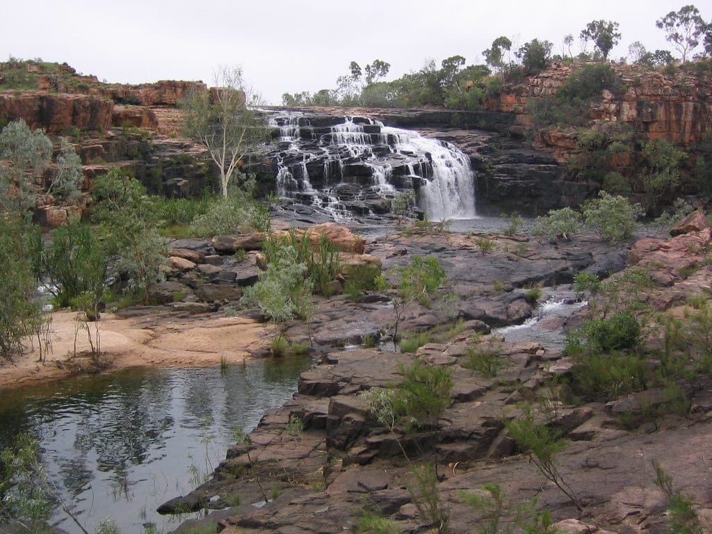
The Gibb River Road: map, itinerary and what the drive demands
How long the Gibb River Road is, what a realistic day-by-day itinerary looks like, when it opens and closes, and what 660 kilometres of Kimberley corrugations does to a vehicle.
 Routes
4 days · 620 km
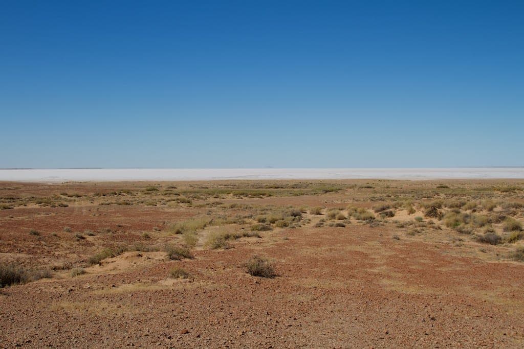
The Oodnadatta Track
About 620 kilometres of gravel from Marree to Marla, following the old Ghan line and the string of mound springs that made the route possible.
 Destinations
NT · 2WD
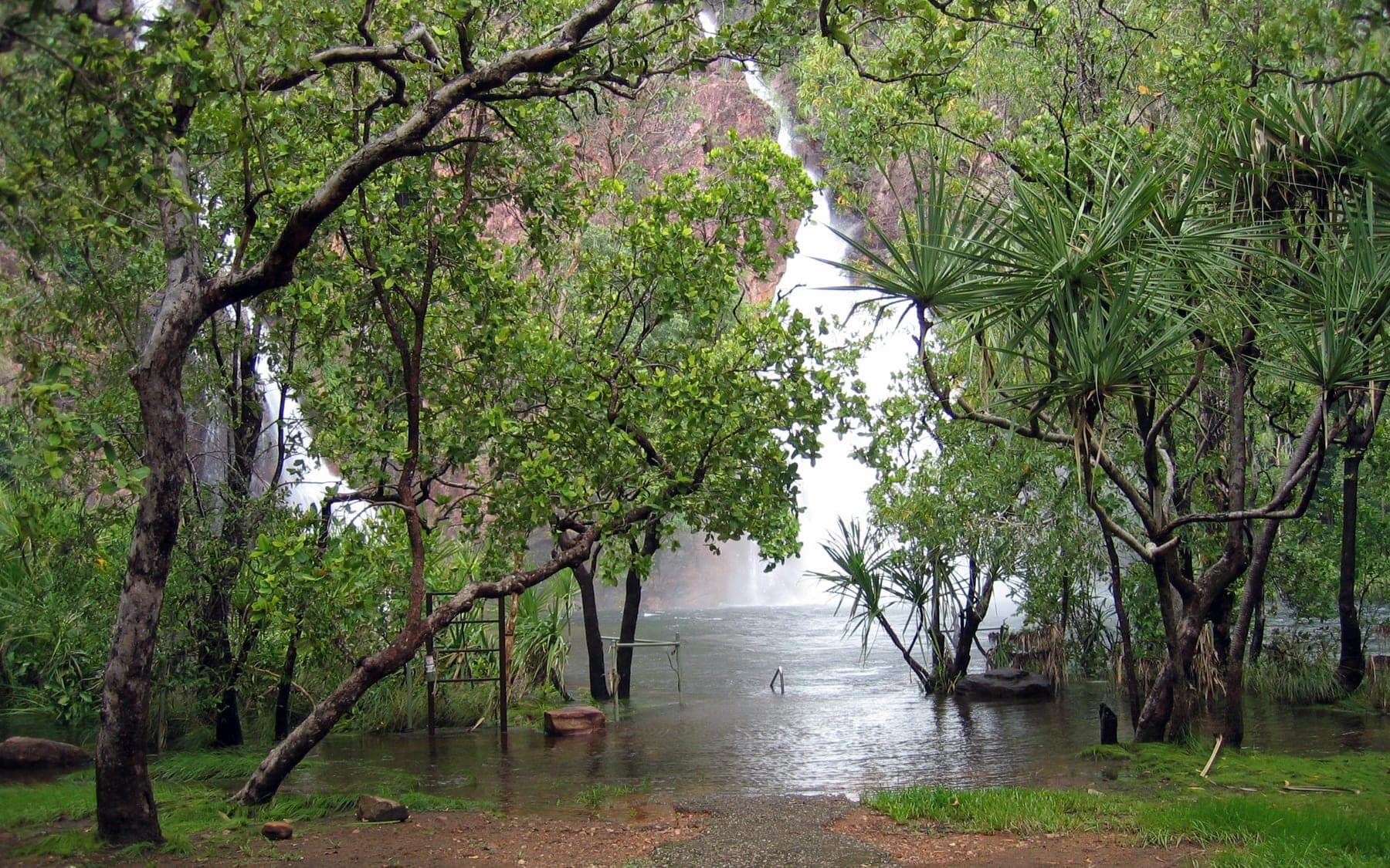
Litchfield National Park
Waterfalls you can swim in an hour and a half from Darwin, mostly on sealed road, with the crocodile management that makes that possible.