The Gibb River Road: map, itinerary and what the drive demands
Photo by Phillie Casablanca · flickr · CC BY 2.0
- Distance
- 660 km
- Suggested
- 10 days
- Difficulty
- Remote
- States
- WA
- Waypoints
- 7
- Read
- 5 min
How long the Gibb River Road is, what a realistic day-by-day itinerary looks like, when it opens and closes, and what 660 kilometres of Kimberley corrugations does to a vehicle.
The Gibb River Road was built to move cattle, and it still behaves like a station road rather than a highway. It runs roughly 660 kilometres between Derby and the Great Northern Highway near Kununurra, and almost none of it is sealed.
The road itself is not technically difficult in the dry. What it is, reliably, is rough. Corrugations, sharp rock, bulldust and river crossings, sustained over a long distance with no realistic way to shortcut out of the middle.
The season decides everything
The Gibb is a dry season road. It typically opens around May and closes with the first serious rain, usually somewhere from October onward, and those dates move by a month either way depending on the wet.
Outside that window the question is not whether you are a good enough driver. Sections flood, the road is officially closed, and recovery from the middle of a closed Kimberley road is not something you want to price.
The official road condition report is the only source worth relying on. Conditions change within a season as well as between them.
What the road does to vehicles
Tyres are the main casualty. Sharp rock and sustained corrugations at speed destroy sidewalls, and two spares is the conventional advice rather than a cautious one. Carry a means of repairing a tyre as well as replacing it.
Corrugations work on everything else. Anything unsecured inside the vehicle will be shaken apart or shaken loose. Roof racks, drawers, water tanks and their mounts all take a beating, and the failures tend to be in the mounts rather than the item.
Reducing tyre pressures and reducing speed are the two things that actually help. Most corrugation damage is a speed problem.
Fuel is available at intervals along the road, at stations and roadhouses, but the intervals are long and prices reflect the freight. Plan the range honestly.
River crossings
The Pentecost River crossing near the eastern end is the well-known one, wide and rocky with a tidal influence, and it is the photograph everyone takes.
The rule for all of them is the same: assess before you commit. Depth, bottom condition and the line through are not visible from the driver's seat, and the cost of getting it wrong is a hydraulically locked engine.
Saltwater crocodiles are present in the Pentecost and in other Kimberley river systems. Walking a crossing to check depth is standard practice and it is also the moment to be genuinely careful about where you are.
The gorges
The road is the means. The gorges are the reason.
Windjana Gorge cuts through a Devonian reef system, and the freshwater crocodiles along the riverbank there are usually visible and generally untroubled by people.
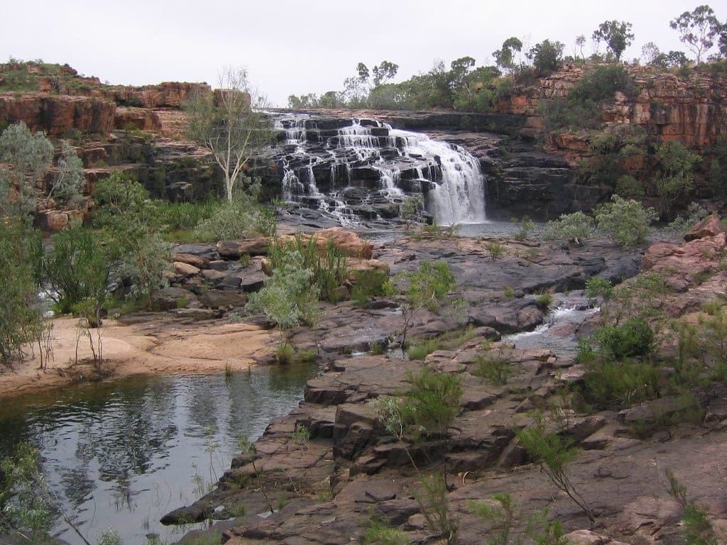
Bell Gorge is the most photographed on the route, with a tiered waterfall into a large pool.
Manning Gorge starts with a swim across the waterhole at the campground, which sets the tone for the walk that follows.
El Questro at the eastern end is a working station running as a tourism operation, with Zebedee Springs, Emma Gorge and El Questro Gorge on the property and its own permit.
The Mitchell Plateau question
The spur north to Mitchell Falls is a significant undertaking in its own right: rougher than the Gibb, slower, and it adds several days. It is worth doing and it is not a side trip you slot into an existing schedule.
A realistic ten-day itinerary
Distances here are driving distances on the Gibb itself, not including gorge access roads, which add up quickly and are slower than the main road.
| Day | Leg | Roughly | What it is for |
|---|---|---|---|
| 1 | Derby to Windjana Gorge | 145 km | Devonian reef, freshwater crocodiles. Short day to start |
| 2 | Windjana to Bell Gorge | 120 km | Tunnel Creek on the way, camp at Silent Grove |
| 3 | Bell Gorge | — | Walk to the falls and swim. Do not rush this one |
| 4 | Bell Gorge to Manning Gorge | 110 km | Fuel at Imintji, camp at Mount Barnett |
| 5 | Manning Gorge | — | Swim across the waterhole to start the walk |
| 6 | Manning to Ellenbrae | 130 km | Station stay. The scones are the running joke and they are real |
| 7 | Ellenbrae to Home Valley | 120 km | Pentecost crossing country, Cockburn Range views |
| 8 | Home Valley to El Questro | 50 km | Cross the Pentecost. Short driving day on purpose |
| 9 | El Questro | — | Zebedee Springs early, El Questro Gorge or Emma Gorge |
| 10 | El Questro to Kununurra | 100 km | Sealed for the last stretch. Resupply |
Compress it to seven days by cutting the rest days at Bell and Manning and skipping one station stay. You will still see the road; you will see considerably less of the gorges.
Extend to fourteen and the Mitchell Plateau becomes possible. That spur is rougher and slower than the Gibb and adds three to four days on its own, so treat it as a separate trip that happens to share a start point.
Which direction? Either works. West to east from Derby means the Pentecost and El Questro come near the end as a finish. East to west puts the roughest central section earlier while the vehicle is freshest.
Communications
Mobile coverage exists at the towns and at almost no point in between. A satellite communicator or a UHF radio is standard equipment on this road, not an accessory.
The Gibb River Road: map, itinerary and what the drive demands map and waypoints
Every waypoint plotted, with coordinates, distances and what each stop is for. Coordinates are approximate and intended for orientation rather than navigation.
- 01
Derby
Western trailhead. Last full services.
-17.30, 123.63
- 02
Windjana Gorge
Devonian reef, freshwater crocodiles.
-17.42, 124.94
- 03
Bell Gorge
Waterfall and plunge pool.
-16.99, 125.21
- 04
Manning Gorge
Swim across to start the walk.
-16.65, 125.94
- 05
Mitchell Plateau turnoff
Rough spur north. Adds days.
-16.35, 126.20
- 06
El Questro
Station stay, Zebedee Springs, Emma Gorge.
-16.01, 127.98
- 07
Kununurra
Eastern end. Full resupply.
-15.77, 128.74
Common questions
- How long is the Gibb River Road?
- Around 660 kilometres between Derby and the Great Northern Highway near Kununurra. Almost none of it is sealed, though short sections at either end are. Allowing for gorge detours and the spur roads off it, most people cover well over 1,000 kilometres by the time they finish the trip.
- How many days do you need for the Gibb River Road?
- Seven to ten days is the realistic range if you want to see the gorges rather than just drive the road. Five days is possible and means skipping most of what makes it worth doing. Two weeks lets you add the Mitchell Plateau, which is a serious undertaking in its own right rather than a side trip.
- When is the Gibb River Road open?
- It is a dry season road, typically opening around May and closing with the first serious rain, usually somewhere from October onward. Those dates move by a month either way depending on the wet. The official road condition report is the only source worth relying on, because conditions change within a season as well as between them.
- Do you need a 4WD for the Gibb River Road?
- Yes. The road itself is not technically difficult in the dry, but it is sustained rough gravel with corrugations, sharp rock, bulldust and river crossings, and the gorge access roads are worse than the main road. Two spare tyres is conventional advice rather than cautious, and high clearance is necessary.
- Can you tow a caravan on the Gibb River Road?
- Off-road camper trailers and genuinely off-road caravans do it regularly. Conventional road caravans do not survive it well, and many hire agreements and insurance policies specifically exclude the Gibb. Corrugations destroy chassis mounts, suspension and cabinetry on vans that were not built for it.
- Is there fuel on the Gibb River Road?
- Yes, at intervals, at stations and roadhouses along the route including Imintji, Mount Barnett and Ellenbrae, plus Derby and Kununurra at either end. The gaps are long and prices reflect the freight. Plan range on the assumption that one stop may be closed or out.
Related
 Routes
6 days · 500 km
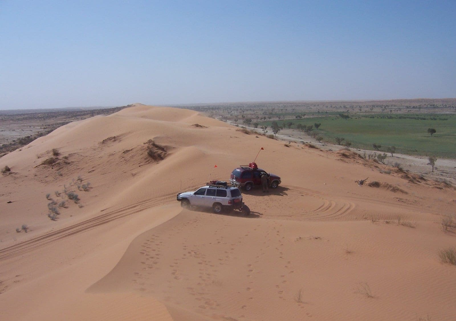
Crossing the Simpson Desert
Around 1,100 parallel dunes between Mount Dare and Birdsville, the most committing mainstream desert crossing in Australia, and entirely a dry-season proposition.
 Guides
4 min read
Free camping in Western Australia
The largest state, the longest distances, and a camping system where the constraint is not permission but fuel, water and how far apart everything is.
 Guides
4 min read
What tyre pressure for sand, gravel and rock
What PSI to run for sand, corrugations and sharp rock, why the rock answer is the opposite of the sand answer, and what airing down actually costs you.