The Oodnadatta Track
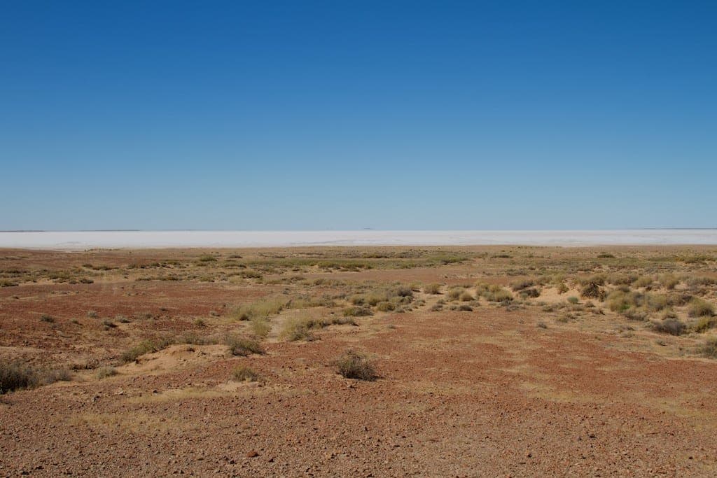
Photo by jfantenb · flickr · CC BY-SA 2.0
- Distance
- 620 km
- Suggested
- 4 days
- Difficulty
- Hard
- States
- SA
- Waypoints
- 6
- Read
- 3 min
About 620 kilometres of gravel from Marree to Marla, following the old Ghan line and the string of mound springs that made the route possible.
The Oodnadatta Track follows a line that Aboriginal people walked long before Europeans used it, and for the same reason: it links a chain of mound springs where artesian water reaches the surface. The Overland Telegraph followed that water. So did the old Ghan railway. The track is what remains.
It runs roughly 620 kilometres from Marree to Marla, all of it unsealed.
What the road is like
This is a maintained gravel road rather than a four-wheel drive track, and in good conditions a well-prepared two-wheel drive with clearance does travel it. That said, four-wheel drive is the sensible choice and it is what almost everyone uses.
The reasons are corrugations, sharp gibber stone, bulldust and the fact that conditions vary enormously with the grader schedule and recent weather.
Rain changes the situation completely. The surface turns to a slick clay that is genuinely undriveable, and the road closes. Driving a closed outback road in the wet causes deep damage to the surface and attracts substantial fines in South Australia. Wait it out.
Tyres, again
Punctures are the defining mechanical experience of the Oodnadatta. The gibber is sharp and it works on sidewalls rather than treads.
Two spares is normal. So is a plug kit and a compressor, and so is dropping pressures for the corrugations and accepting a slower average speed.
What to stop for
Lake Eyre South is visible from the road, and the far larger Kati Thanda-Lake Eyre North sits beyond it. The lake fills rarely, on a cycle driven by rainfall in Queensland arriving months later down the channel country. When it does fill it is a major event, and scenic flights out of William Creek are the practical way to see the scale of it.
Coward Springs is the best stop on the track: a campground on an old railway siding, with a small artesian spa built into the bore and a wetland alongside it that supports an improbable amount of birdlife for the middle of a desert.
The Ghan ruins appear at intervals the whole way: sidings, bridges, water towers and fettlers' camps, abandoned when the line moved west in 1980.
William Creek is one of the smallest towns in the country and the pub is the centre of it.
Oodnadatta and the Pink Roadhouse are the main service point on the northern half.
Fuel and water
Fuel is available at Marree, William Creek, Oodnadatta and Marla. Those gaps are long, prices are high, and running the tank low between them is the most common way a straightforward trip becomes a serious one.
Carry more water than the distance suggests. The bore water along the track is artesian and often hot, mineralised and unpalatable, and it is not a substitute for what you bring.
Season
April to October. Summer here reaches temperatures that make a breakdown genuinely dangerous rather than merely inconvenient, and there is very little traffic to rely on.
Communications
Coverage is limited to the settlements. Carry a satellite communicator, and tell someone your intended route and timing.
The Oodnadatta Track map and waypoints
Every waypoint plotted, with coordinates, distances and what each stop is for. Coordinates are approximate and intended for orientation rather than navigation.
- 01
Marree
Southern end. Fuel, pub, last reliable services.
-29.65, 138.06
- 02
Lake Eyre South
Salt lake visible from the road.
-29.35, 137.35
- 03
Coward Springs
Campground and artesian spa on the old siding.
-29.40, 136.81
- 04
William Creek
Pub, fuel, scenic flights over Kati Thanda.
-28.91, 136.34
- 05
Oodnadatta
Pink Roadhouse. Fuel and repairs.
-27.55, 135.45
- 06
Marla
Northern end. Joins the Stuart Highway.
-27.30, 133.62
Related
 Routes
6 days · 500 km
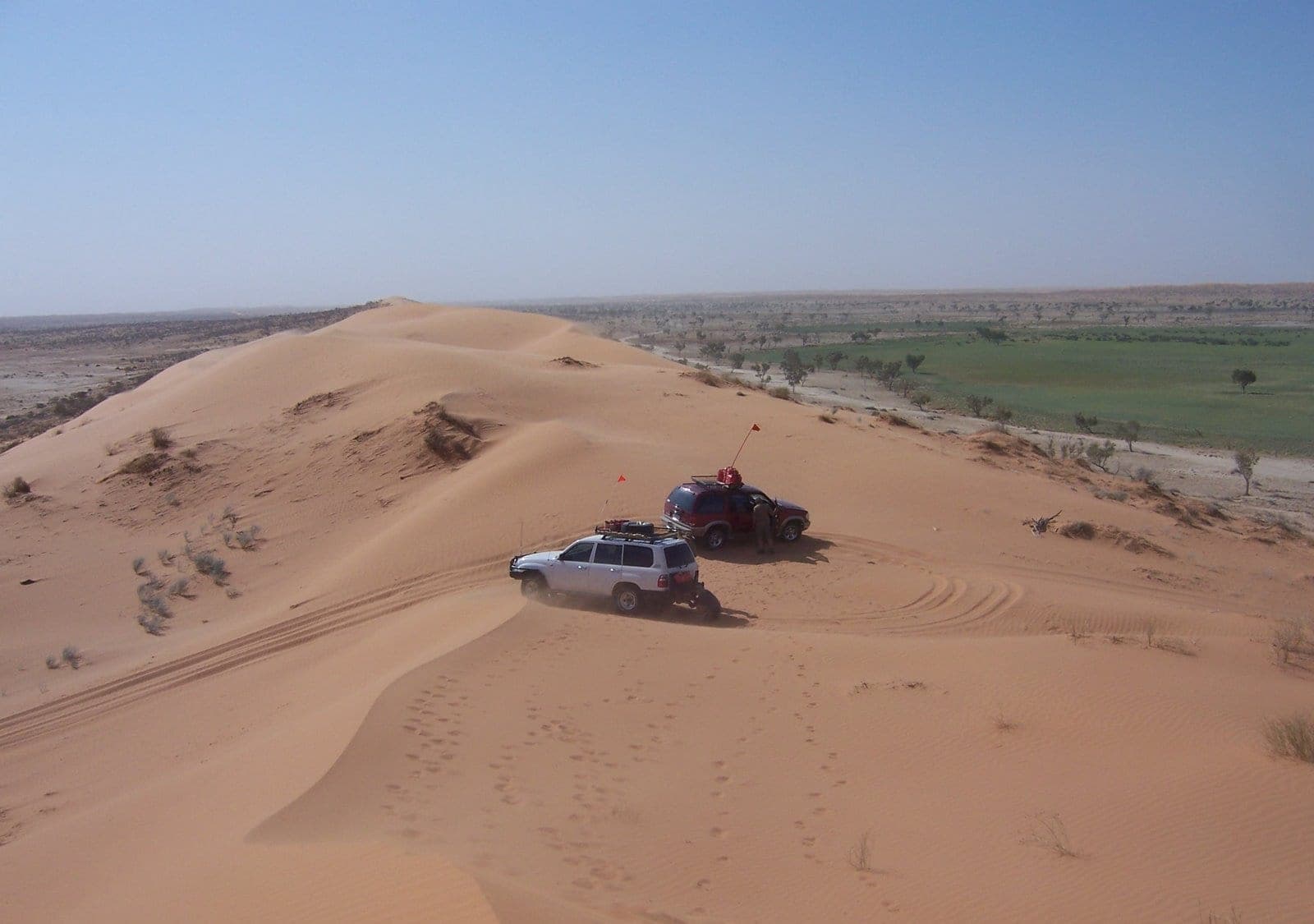
Crossing the Simpson Desert
Around 1,100 parallel dunes between Mount Dare and Birdsville, the most committing mainstream desert crossing in Australia, and entirely a dry-season proposition.
 Destinations
SA · AWD
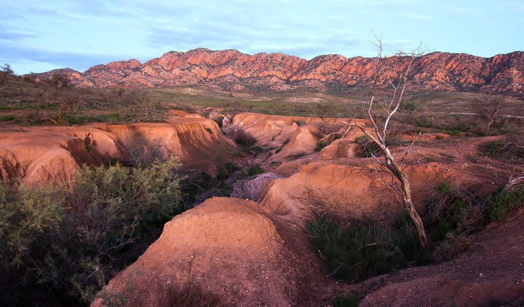
Ikara-Flinders Ranges National Park
Ancient folded ranges five hours north of Adelaide, with a geology trail you can drive and the most legible landscape in South Australia.
 Routes
10 days · 660 km
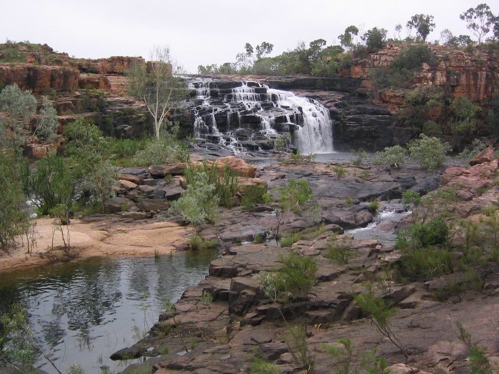
The Gibb River Road: map, itinerary and what the drive demands
How long the Gibb River Road is, what a realistic day-by-day itinerary looks like, when it opens and closes, and what 660 kilometres of Kimberley corrugations does to a vehicle.